YouTube
Open YouTube
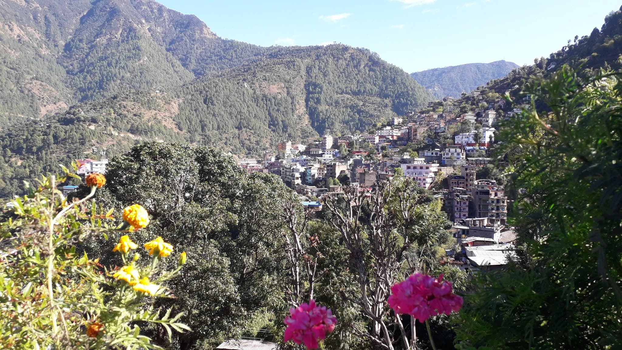
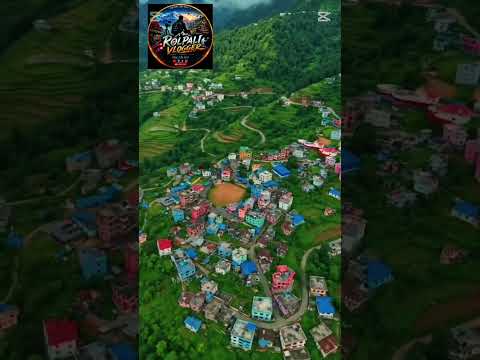
Liwang Valley and Shivalaya Heritage (लिवाङ उपत्यका तथा शिवालय सम्पदा), situated gracefully at an elevation of 1,320 meters in a picturesque mountain valley bowl at the confluence of the Gwalgwal and Liwang rivers, is the historic administrative, commercial, and cultural capital of Rolpa District. Encircled by pine-clad Mahabharat hills, terraced rice paddies, and traditional stone settlements, Liwang blends traditional mid-hill culture with lively regional commerce. At the spiritual center of the town stands the historic Shivalaya Temple precinct, dedicated to Lord Shiva, which serves as a vibrant focal point for local devotional gatherings and festive Shivaratri rituals. Paved stone pathways and scenic hillside ridge trails branch outwards from the valley floor, leading to commanding viewpoints such as Guranse and surrounding promontories that offer sweeping vistas across the entire Rolpa basin. As the primary logistical, cultural, and transit nexus of the district, Liwang is the indispensable gateway for trekkers embarking northward along the Guerilla Trek towards Jaljala Mountain and the Kham Magar homestays of Thabang. It offers travelers warm western Nepali hospitality, local artisan markets featuring traditional hand-woven radhi-pakhi woolens, and an authentic glimpse into everyday hill life in western Nepal.
Liwang Valley and Shivalaya Heritage (लिवाङ उपत्यका तथा शिवालय सम्पदा), situated gracefully at an elevation of 1,320 meters in a picturesque mountain valley bowl at the confluence of the Gwalgwal and Liwang rivers, is the historic administrative, commercial, and cultural capital of Rolpa District. Encircled by pine-clad Mahabharat hills, terraced rice paddies, and traditional stone settlements, Liwang blends traditional mid-hill culture with lively regional commerce. At the spiritual center of the town stands the historic Shivalaya Temple precinct, dedicated to Lord Shiva, which serves as a vibrant focal point for local devotional gatherings and festive Shivaratri rituals. Paved stone pathways and scenic hillside ridge trails branch outwards from the valley floor, leading to commanding viewpoints such as Guranse and surrounding promontories that offer sweeping vistas across the entire Rolpa basin. As the primary logistical, cultural, and transit nexus of the district, Liwang is the indispensable gateway for trekkers embarking northward along the Guerilla Trek towards Jaljala Mountain and the Kham Magar homestays of Thabang. It offers travelers warm western Nepali hospitality, local artisan markets featuring traditional hand-woven radhi-pakhi woolens, and an authentic glimpse into everyday hill life in western Nepal.
2 available
2 available
YouTube
Open YouTube
YouTube
Open YouTube
Discover More

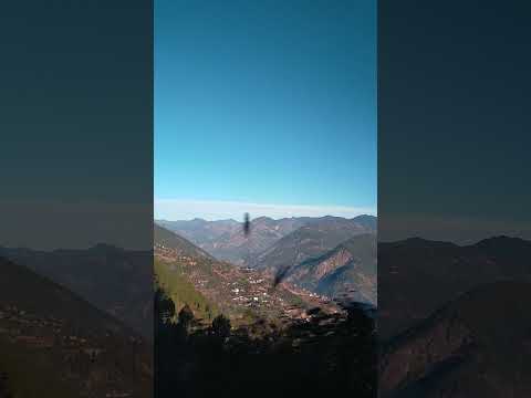
Jaljala Mountain and Wetland (जलजला डाँडा तथा सिमसार / धरमपानी), crowning the northern high ridges of Rolpa District at an elevation of 3,193 meters across the boundary zone of Rolpa Municipality, Sunchhahari, and Thabang, is the supreme ecological crown, trekking sanctuary, and spiritual summit of western Nepal's mid-hills. Known classically as 'Ghamandi Pahad' (The Proud Mountain) and revered as an ancient ascetic tapobhumi, the vast high-altitude plateau encompasses expansive alpine pastures (*kharkas*), natural mountain wetlands, and sacred glacial tarns including Bhabisya Pokhari and Bhama Kunda. The high plateau is carpeted with pristine virgin rhododendron forests comprising dozens of distinct sub-species that burst into kaleidoscopic blooms every spring. At the spiritual heart of the summit stands the revered Kailu Baraha Temple, where thousands of pilgrims from Rolpa, Rukum, Baglung, and Pyuthan gather annually on the full moon of Jestha Purnima (May/June) to offer prayers, bells, and tridents for rainfall and pastoral abundance. From the wind-swept ridgeline, adventurers are rewarded with staggering, unhindered 360-degree panoramas of the Himalayan giants—stretching seamlessly across the Dhaulagiri massif, Mount Sisne (the virgin Matterhorn of Nepal), Gurja Himal, Annapurna, and Kanjiroba in the far north. As the crowning centerpiece of Nepal's legendary Guerilla Trek, Jaljala combines breathtaking wilderness trekking, rich biodiversity, and spiritual serenity.

Sunchhahari Waterfall (सुनछहरी झरना / सुनछहरी छाँगा), also known locally as Bibang Falls, is widely celebrated as the tallest and most spectacular natural waterfall in Rolpa District and the wider Rapti hill zone, cascading down rocky cliffs with a vertical drop exceeding 200 meters. Nestled deep within the rugged pine-clad gorges between Harjung and Siuri in Sunchhahari Rural Municipality-4, this roaring cascade gives the entire local municipality its proud identity—'Sunchhahari', translating poetically to 'The Golden Waterfall' in tribute to the golden shimmering refraction created by morning sunlight striking its mist. The waterfall crashes into a deep natural plunge pool framed by sheer limestone rock faces, surrounded by wild sub-tropical mountain flora, suspension footbridges, and scenic riverside footpaths along the Lungri river system. Historically accessible only via arduous hill paths, Sunchhahari Waterfall is now an anchoring eco-tourism highlight along eastern Rolpa's nature corridors, drawing hikers, nature photographers, and adventurers exploring the scenic wilderness between Liwang and the southern foothills of Mount Jaljala.

Thabang Cultural Village (थबाङ ऐतिहासिक तथा खाम मगर सांस्कृतिक गाउँ), nestled within a majestic natural mountain amphitheater at an elevation of 1,980 meters in northern Rolpa's Thabang Rural Municipality, is the ancestral social, architectural, and spiritual epicenter of the indigenous Northern Kham Magar ethnic nation. World-renowned for its architectural harmony, the settlement comprises hundreds of tightly clustered, multi-story rustic stone dwellings constructed from locally quarried dry masonry and roofed with hand-hewn grey slate slabs (*dhunge chhana*). The houses are stacked harmoniously along the contours of the hill slopes, linked by intricate cobblestone walkways, carved wooden balconies, and communal courtyards. Thabang preserves ancient shamanistic animist rituals, indigenous folklore, traditional hemp and nettle fiber weaving, and vibrant seasonal dance traditions—most notably the sacred Bhume Naach, Paisa Naach, and Singaru—celebrated with hypnotic madal drums and colorful native regalia. Beyond its profound anthropological significance, Thabang occupies an iconic chapter in contemporary Nepali political history as a fiercely self-reliant commune and the symbolic birthplace of modern sociopolitical movements. Today, having embraced peaceful community-based homestay tourism, Thabang warmly welcomes cultural researchers, trekkers traversing the Guerilla Trek, and heritage enthusiasts seeking an authentic encounter with Nepal's resilient mid-hill traditions.

Ajayamerukot is a monumental medieval archaeological citadel and palace complex established in the 13th to 14th century CE as the royal winter capital of the Katyuri and Doti Rainka Kings. Perched defensively atop an isolated mountain spur in Ward 2 of Ajaymeru Rural Municipality at an altitude of 1,313 metres, the site is bordered on three sides by sheer ravines carved by the Chamdola and Baunera streams. The extensive archaeological precinct preserves the foundation platforms of a multi-tiered stone royal palace, expansive paved courtyards, an assembly hall (Baithak), carved Shikhara-style stone dewals, and defensive ramparts. An exceptional architectural marvel of the site is the subterranean Rani Naula (रानी नाउला), an intricately dressed stone step-well featuring arched corridors and classical Katyuri decorative friezes. Recognized as an official Department of Archaeology monument under ID NP-DD-04 and nominated on Nepal's UNESCO World Heritage Tentative List, Ajayamerukot stands as one of the most significant medieval monarchical complexes in the Himalayas.

Alapeshwar Cave (locally known as Alpeswor Gupha or Alapu Cave), nestled within the forested hills of Kusma Municipality Ward 7 near Gyadichaur and the Silmi forest corridor, is an extraordinary natural speleological cave network in Parbat District. Discovered in recent decades by local community members, the cave extends several hundred metres into subterranean limestone bedrock, offering an intriguing subterranean exploration destination for eco-tourists and adventure travelers. The interior of Alapeshwar Cave features multiple natural limestone chambers linked by winding rock corridors. Over tens of thousands of years, mineral-rich seepage water has sculpted spectacular calcite formations, including delicate stalactites hanging from cavern ceilings, massive stalagmites rising from the floor, flowstone curtains, and crystalline rock terraces. In several chambers, clear subterranean spring water flows over the smooth limestone floor, creating natural underground wading pools and tranquil echo chambers. Local development committees have installed solar-powered illumination along the main walking galleries, safe metal ladders, and protective handrails to facilitate visitor access without disturbing the delicate cave ecology and resident microbat colonies. Unlike heavily visited commercial caves, Alapeshwar retains a raw, uncommercialized subterranean ambiance that rewards curious travelers exploring the diverse canyon landscape of Kushma.

Amargadhi Fort is a monumental late 18th-century stone military fortification perched at an elevation of 1,901 metres along the crest of the Mahabharat range in Khalanga, Dadeldhura. Constructed in 1790 CE (1847 BS) by Gorkhali Commander Bada Kaji Amar Singh Thapa following the unification of the Far-Western hill principalities, the citadel commanded vital strategic mountain trade and troop routes between Doti, Kumaon, and the Mahakali basin. Enclosed by massive stone bastion ramparts punctuated with defensive cannon embrasures, the inner fortress encompasses twenty-two subterranean vaulted chambers that served as troop barracks and munitions depots, a central Kotghar armory, and a shrine dedicated to Ugra Bhairav. Cataloged under Department of Archaeology monument identification NP-DD-08, the citadel offers sweeping panoramic vistas across the terraced valleys and surrounding pine-clad ridges.